Have you submitted your feedback on the future of Courtenay’s urban forest yet?
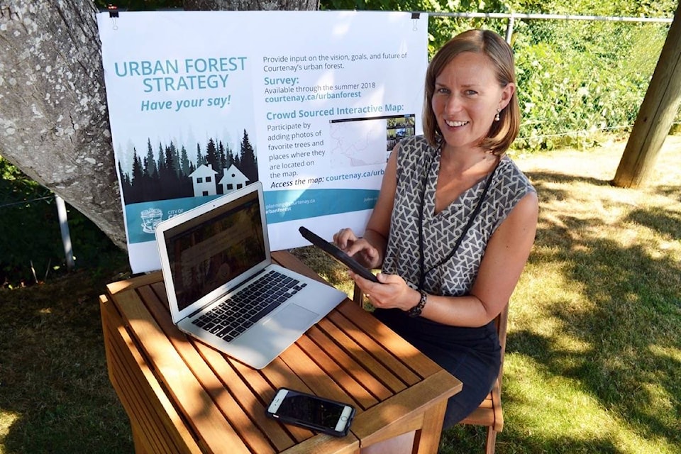
The online consultation period for the vision, goals and future of the community’s urban forest has been open since June, and you can contribute more than just opinions. Share photos of Courtenay’s urban forest to a crowd sourced “story map”. One photo will be chosen from all submissions for the cover of the Urban Forest Plan; the winner will also receive a $200 gift certificate to a local nursery. Access the Interactive Crowd-sourced Online Map at www.courtenay.ca/urbanforest, or submit your photo by email to planning@courtenay.ca
“We thought we’d try this new consultation tool with more creative options for people to share their thoughts and visions for the urban forest,” says Nancy Gothard, policy planner with the City of Courtenay. “We hope people will show us their special trees and forest places, and hopefully have a bit of fun in the process, in addition to the online survey.”
An urban forest strategy is a planning tool that identifies opportunities and challenges for trees and forest stands on public and private land. The City’s strategy will set a canopy cover target for the community as a whole, and for specific areas and land uses. The target will inform which areas should be a priority for tree protection, and in which areas replanting would be beneficial.
Communities around the province are adopting urban forest strategies to address environmental and habitat protection, stormwater management, climate change, and livability. Urban forests are increasingly being considered community assets similarly to traditional assets such as roads and utilities.
“The success of the urban forest will ultimately depend on how engaged citizens are in contributing to it,” Gothard added. “Unlike other public assets, green assets such as trees grow across boundaries and depend on the participation of many. We’re getting a wide variety of photos, most of which include trees as important elements of character streetscapes.”
The story map application is user friendly and available on mobile devices, as well as desktop and laptop computers combined with digital cameras. The City will use the urban forest consultation experience of the crowd-sourced story map to determine if it has appeal for other consultation applications in the future.
There is no limit to the number of photos and comments that can be added to the map. Participants may also flag areas needing improvement, and include photos from other communities to share examples from beyond Courtenay’s borders. The story map will be available even after the public consultation period has concluded as a permanent tool for virtual exploration and education of Courtenay’s urban forest.
“Even if a person doesn’t have a photo to share, they’re still welcome to navigate what’s already been posted and take a virtual tour from the eyes of neighbours,” Gothard said.
Courtenay council directed staff to develop an urban forest strategy after the adoption of a new tree bylaw last spring. Earlier summer, the City held two public workshops and a number of stakeholder consultation meetings.
The online story map, survey, summary notes from the public workshop and preliminary baseline analyses are available at www.courtenay.ca/urbanforest
The draft strategy is expected to be available for public review in the fall.


