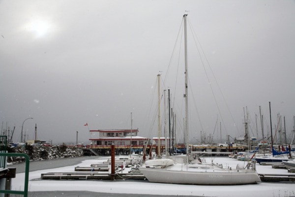
It's been a cool, frosty week in the Comox Valley — where a winter storm warning is in effect — but milder conditions are just around the corner.
Daytime temperatures dipped to -8C Wednesday with a high of -5, while Thursday registered a low of -5 with a high of -2, according to Environment Canada.
Chilly indeed, but warmer than Jan. 19, 1950 when the mercury hit -12.
"1950 was just a wicked year," meteorologist Jim Steele said Thursday. "It was cold. Not record, but up there...This time of year you should have highs of six and lows of -1."
Two to four centimetres of snow mixed with freezing rain was expected Thursday evening and Friday morning, changing to rain during the day.
An Arctic ridge of high pressure over the Interior has produced strong winds through coastal valleys and inlets on east Vancouver Island. Combined with cold air, wind chill values have exceeded -20 for much of the B.C. coast.
"After the big chill we are looking at a return to more typical January conditions on the B.C. coast, milder with rain," Steele said. "But unfortunately going between the cold air and the milder typical weather, it won't be pretty. Getting from A to B is the tricky part."
Friday highs are expected to reach 4, along with strong winds and about five cms of snow mixed with freezing rain changing to rain in the afternoon.
Saturday's forecast calls for showers with a high of 7. Further rain is expected Sunday with a high of 6. The weekend pattern is expected to continue early next week.
"It will be very uncomfortable, the switchover from the cold air to milder air," Steele said. "It's not uncommon. The transition to the milder Pacific air normally doesn't go without some excitement."
Road conditions can be monitored at www.drivebc.ca.
reporter@comoxvalleyrecord.com


